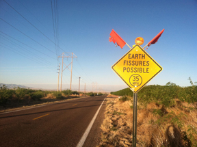
 On the way to the Chiricahua Mountains, we had a few adventures. One, my favorite highway sign in the United States. The fissure it refers to is probably because of groundwater pumping.
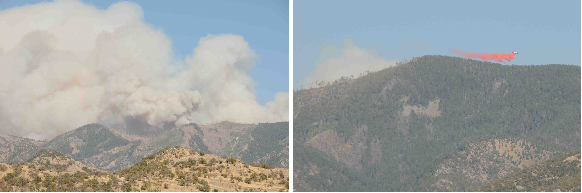
Second, a fire, now 27,000 acres large, has been burning for a week on the east side of the Chiricahua Mts. The Southwest Research Station at Portal was evacuated a few days ago. Miriam Roe took these pictures yesterday (Monday, 16 May) from east Turkey Creek. In the second photo, you can see the Forest Service plane dropping the fire retardant.